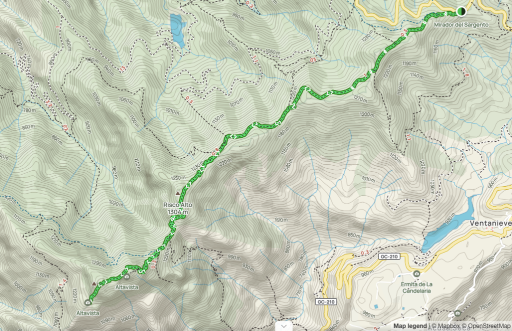
Montaña de Altavista hike is a 6 km out-and-back walk along the mountain range from the Sargento viewpoint just a kilometer from the Artenara village in Gran Canaria. It’s a bit of a climb by car from Las Palmas but a worthwhile trip, given the astonishing views on both sides of the trail.
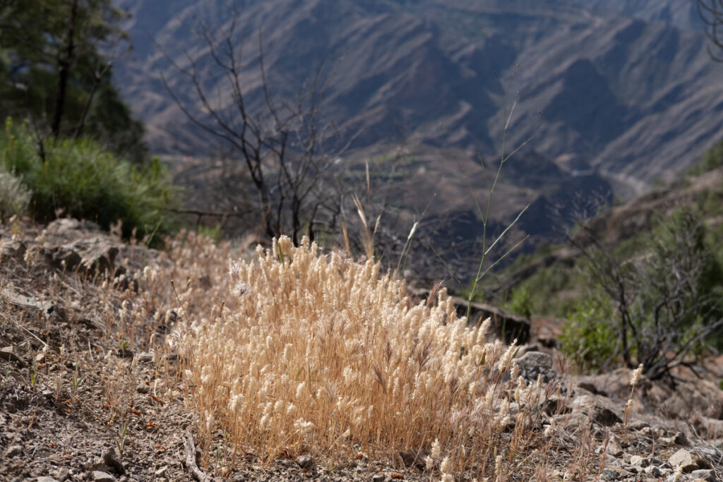
The major part of Western Gran Canaria is reserved for the Tamadaba Natural Park. As a fact, the local government is currently implementing an ambitious plan to build a highway by the coastline, passing the wild beaches and small villages.
This route lies on one of the edges of Tamadaba Park, so as you walk, you see the park on the right and the famous Gran Canaria’s natural stones on your left, like Roque Nublo.
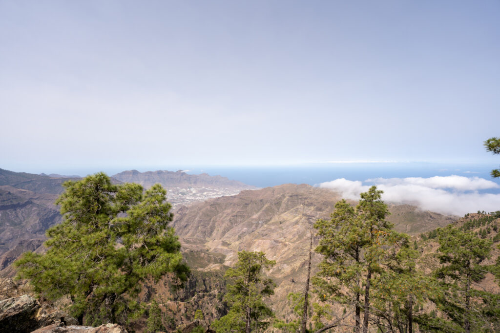
The significance of the route is that you walk on the mountain range, but it’s an out-and-back trail. However, as you reach the Altavista (“High View”) peak, the weather can change with the northern winds, and you will walk back in a dramatically different setting.
The gain is easy to moderate, with no extremely steep sections, so it’s manageable for senior hikers and teenage kids with experience.
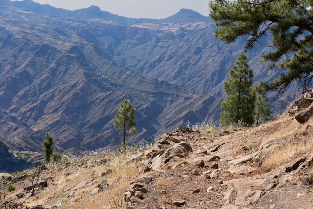
As you walk, you will see breathtaking views on both sides of the range and many perspectives. The far-away villages in the mountains are one of the spectacular views.
As you reach the Montaña de Altavista, you will observe Aldea de San Nicolas, the most remote village in Gran Canaria (soon not to be, once the mentioned highway is accomplished), and face South, observing the deserty landscapes of that part of the island.
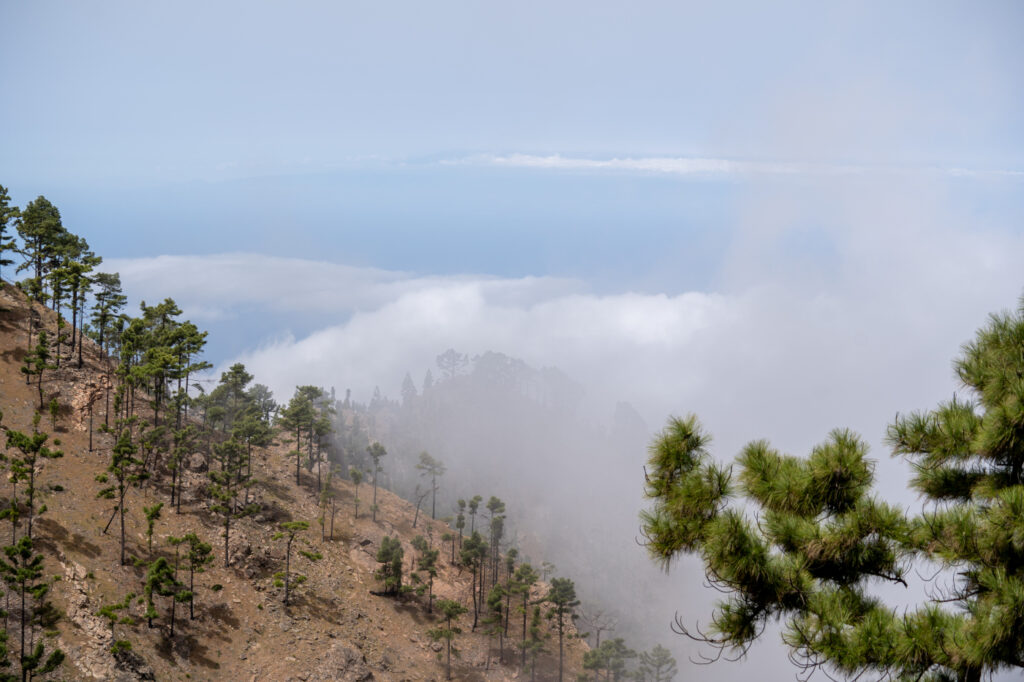
On the road back, we were caught by a giant cloud rising from the western part and dissolving in the heated valleys on the east.
How to get there
As you cross Artenara, keep right to follow the signs to Tamadaba and park once you’ve reached Mirador de Sargento.
What should you know
- Elevation gain: 610 m.
- 300 meters before Montaña de Altavista, you will see a junction to another smaller peak. Notice the little rock sculpture kindly assembled by other hikers and keep right if you don’t want to expand your trail with the additional peak.
- Trail map in AllTrails
- Trail map in WikiLoc

Leave a Reply