When you first visit Slovakia, you know that the most spectacular mountain range is the Tatras, but getting there without a car is an aim for those with a lot of spare time. Malà Fatra Park was not a pre-planned choice for us. Instead, it was an improvised discovery.
If you travel from Bratislava, or at least the country’s northwest, stopping in this mountain reserve in the Western Carpathians will give you a fresh and green start. It’s a hidden gem for those looking for moderate hikes and picturesque views, especially compared to Slovakia’s lower part of the Carpathian mountains, being a much more structured, paved, bike-related park zone.
The easiest way to get to Mála Fatra Park is from Bratislava to Žilina via E50 road, and from there, keeping to the 583 road until reaching one of the right turns.
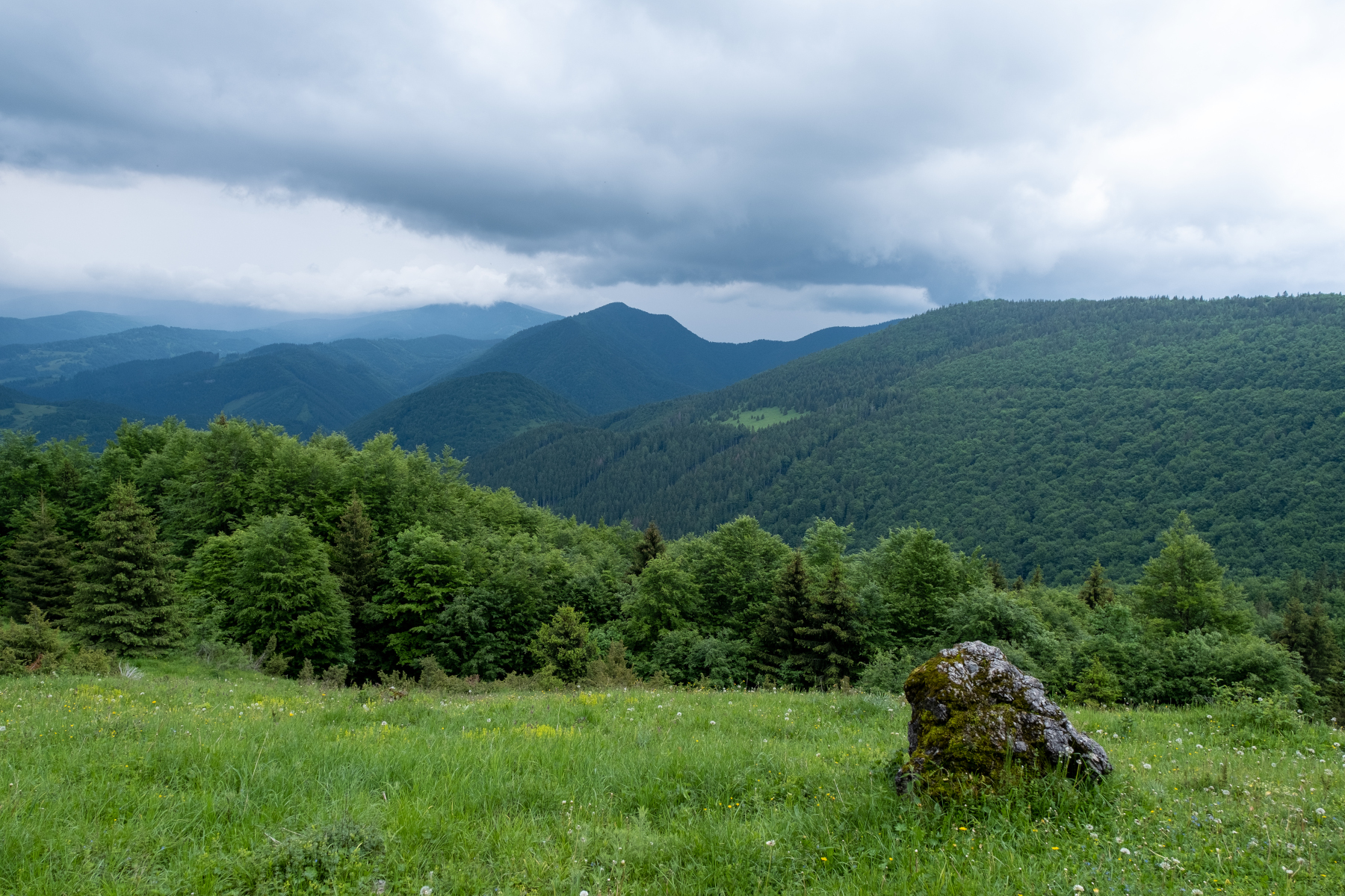
There are a few peaks worth visiting; Maly Krivan and Velky Krivan are among them. Unfortunately, the weather was gloomy when we arrived in the area, so we decided to go for a shorter trail.
The road led us through a picturesque canyon with rocks resembling images from classical Chinese paintings of the 11-13th centuries.
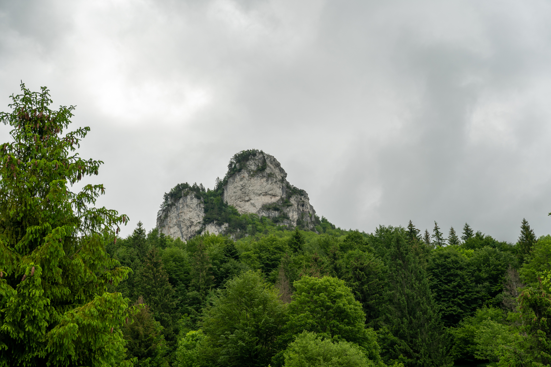
The loop around Velky Rozsutec lies from a designated paid parking lot next to pensions and restaurants, so many other hikers were on the trail. Watching the car plates in the parking revealed how many visitors come from Poland and the Czech Republic. It didn’t stop us from saluting others with “Dobrý,” the typical short Slovak greeting.
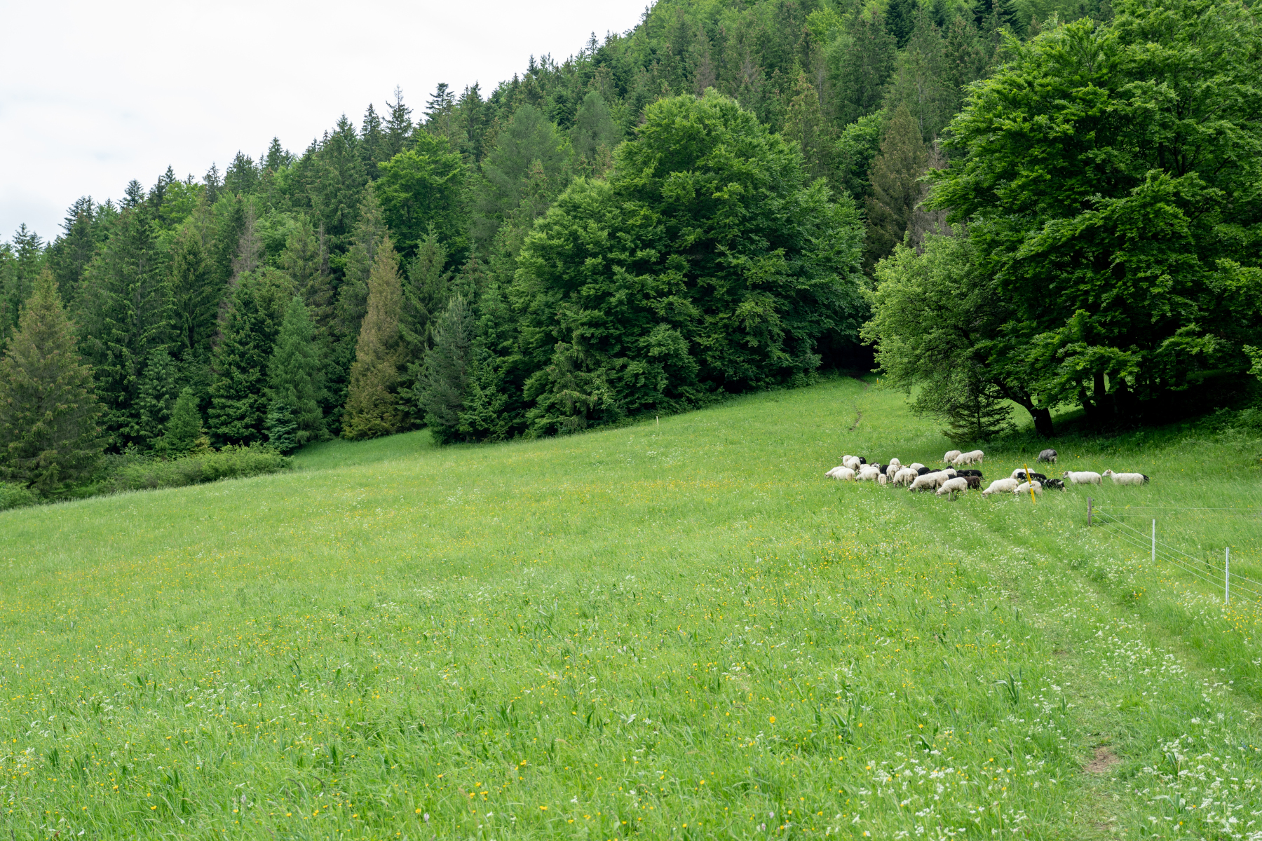
The beginning of the hiking trail lay along a field where a little lamb fell behind its flock. So a group of senior hikers stopped to encourage the youngster to hurry up.
Then, a steep elevation led us through the forest to a fast stream up and down. From there, we had to climb a few metal ladders in front of little rivulets of falling water. The elevation in this magic forest leads you to another open area with a view towards Vel’ky Rozsutec and Maly Rozsutec peaks.
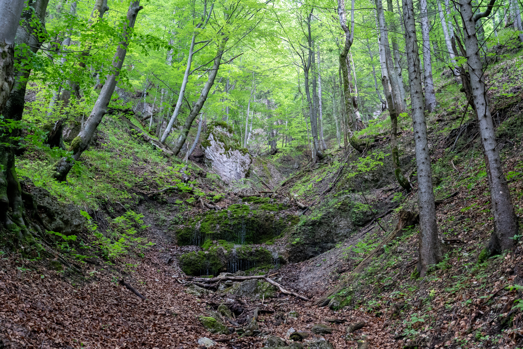
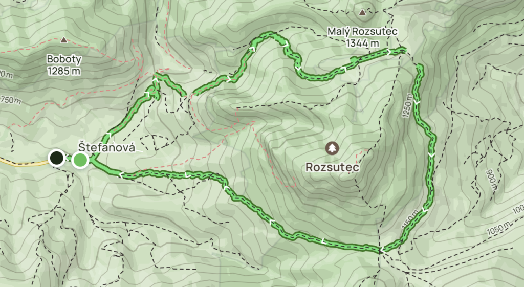
Rozsutec was closed due to the weather. So we had to come up with an alternative route. As a consequence of this, we saw beautiful views and got caught in the rain.
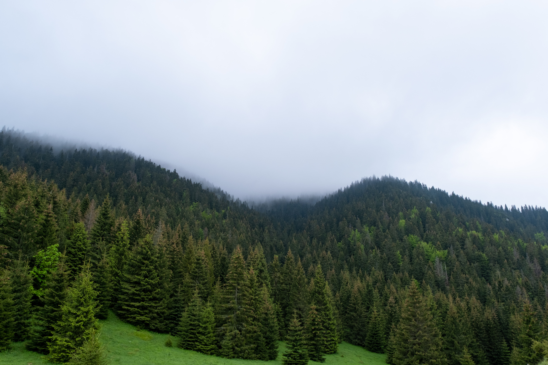
The last part of the route was an adventure, as the forest trail quickly ended with a steep decline. Wet tree roots were mixed with clay soil, so it was a real test drive for the hiking shoes.
This trail is moderate in summer but requires some skills (or sticks) during mid-season.
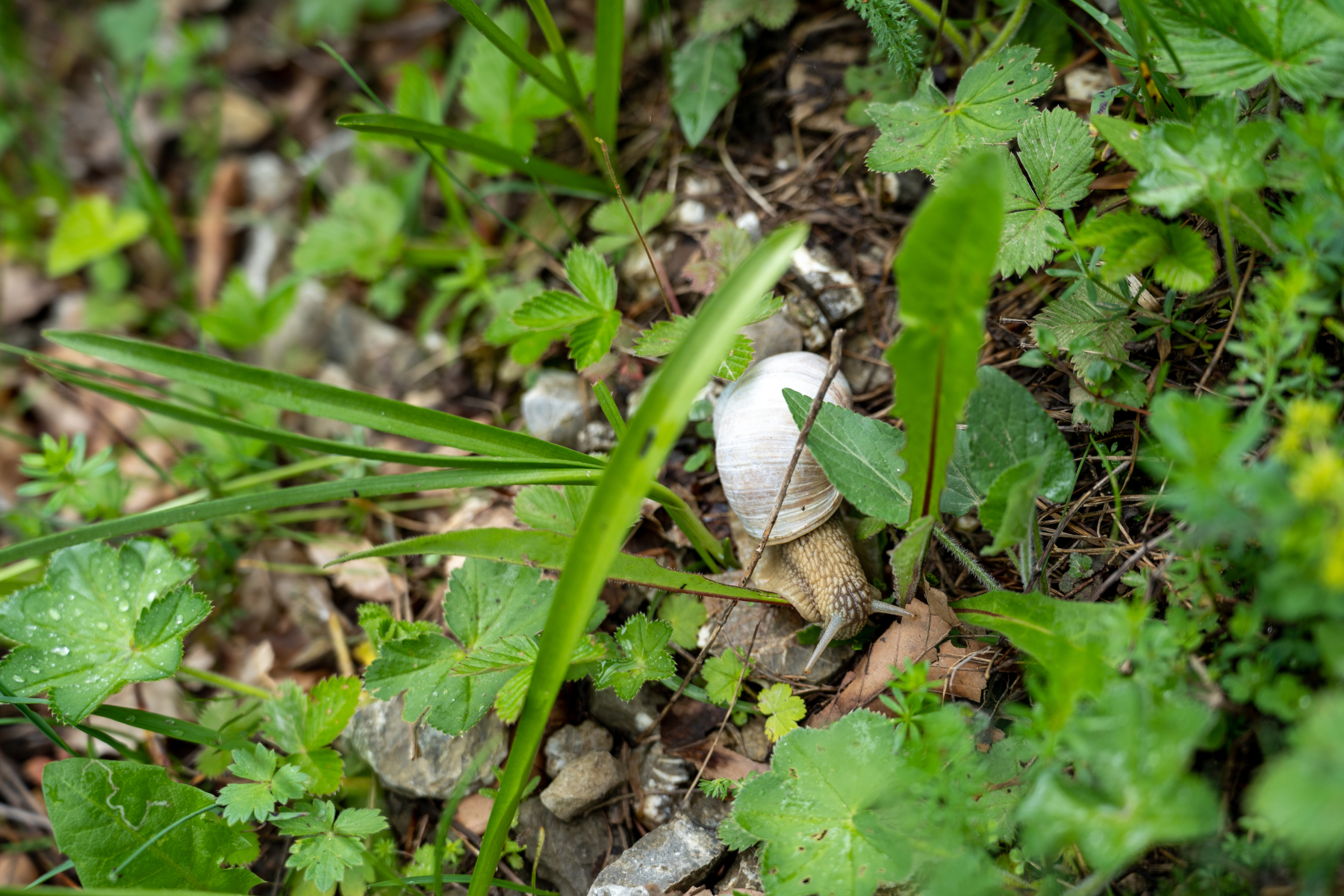
So it gave us a proper understanding of why Slovakia is a popular hiking destination and why there are so many hiking and mountain gear shops throughout the country.
Good to know:
- Length of trail – 12,8 km.
- Elevation gain – 757 m.
- AllTrails Map of the final route.
- AllTrails Map for the initial route (elevation gain 1,002 m.)
- Google Maps point to parking and the start of the trail.
Follow us on Instagram to see even more beautiful photos from the hikes. And feel free to reach out with any questions!

Leave a Reply