
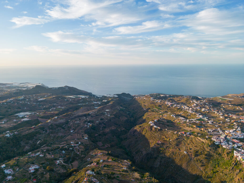
Gran Canaria is one of the biggest Canary Islands of Spain, located in the Atlantic Ocean close to Morocco in Africa on the East. It is a volcanic island. So its center forms an ancient mountain range, while the lowlands lie between the ravines.
It has many natural wonders, with the dunes of Maspalomas being one of them.
Thanks to this, many hiking trails allow solidarity in nature. For those who enjoy a long walk, there is an ancient pilgrimage trail from the South to the North of the island.
What should you know and how to pick your best hiking trail in Gran Canaria? Read our top picks for hiking in Gran Canaria based on the two years the Outdoorways team spent on this magnificent island.
Pico de las Nieves to Roque Nublo
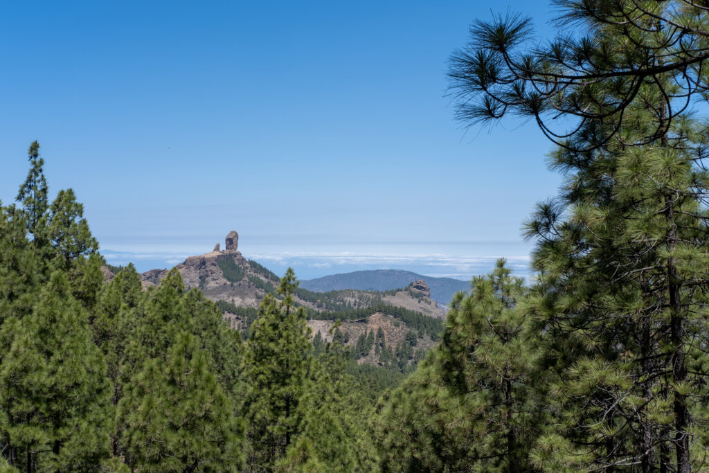
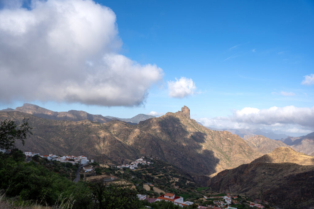
This natural wonder is a giant rock standing opposite the main peak of Gran Canaria, Pico de las Nieves. So whenever you see photos from the viewpoint of Las Nieves, Roque Nublo will be there.
The hike to the rock is developed and fun. You’ll see all parts of the island as you walk from designated parking and even spot the dunes of Maspalomas far away.
Moreover, it’s a trail with a considerable length with a very modest elevation gain, making it accessible for all ages.
Check our post about the hike from Llanos de la Pez to Pico de Las Nieves and Roque Nublo!
Tamadaba Park
The West part of Gran Canaria is the least populated. You will not find big cities there. And between the two villages of Agaete and Aldea de San Nicolas lies a vast national park named Tamadaba.
Although getting there from Las Palmas is a bit of a curve, it offers wilderness and diversity. (Give it another few years when the highway next to Tamadaba is finalized!) The main road to it lies through the Artenara village, and you can find many hikes there, from easy to advanced.
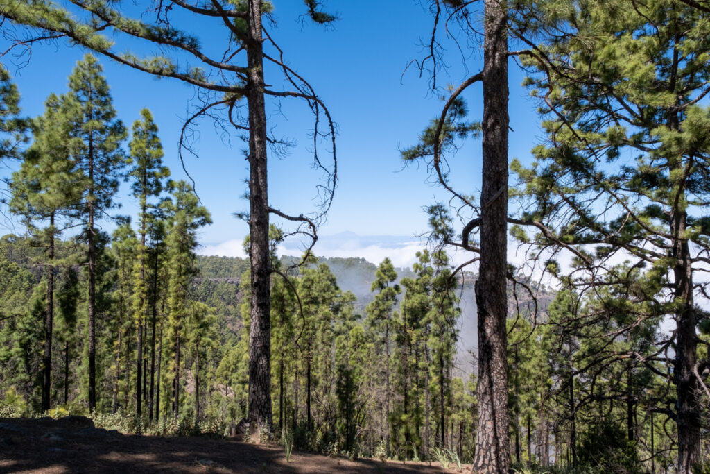
Although the fauna of Tamadaba may be a bit monotonous, these slopes are known to have carpets of ferns. They also show views of Mt. Teide in Tenerife on a sunny day.
We recommend an out-and-back trail to Montaña de Altavista along the mountain range and a circuit through the Tamadaba camping and recreational area.
Bandama
Millions of years ago, massive subsurface explosions created this kilometer-wide circular crater which now forms part of the Bandama Natural Monument. Bandama is just a 20-min drive from the city of Las Palmas. The trail shows the peculiarity of the local fauna growing on the grey volcanic soil encircled by high caldera walls.
Camino de Santiago in Gran Canaria
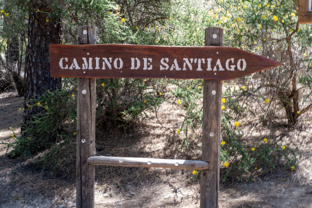
For those who prefer long trails, there is a local Camino de Santiago, named after one of Spain’s famous pilgrim roads. It starts in the southern touristic parts of Gran Canaria and goes to the central peak, then leads down to the Northern slopes.
Camino de Santiago lies along the major Canarian villages like Fataga, Tunte, Cruz de Tejeda, ending in Gáldar, where one can find ancient painted caves from the time of aboriginal Canarian people.
Camping in Gran Canaria is allowed only in designated places with a permit. Still, the short distances between the villages make it a great week-long journey following the historical pilgrims and showcasing the island’s volcanoes.
The total length is about 64,1 km.
Playa de Guigui
One of Gran Canaria’s most famous natural beaches is only accessible on foot, which does not diminish its appeal to many island tourists. Several beaches on this island require bravery and a decent vehicle, and Playa de Guigui is just one of them.
However, this is one of the best possibilities for those who love trekking for an incredible discovery. A public camping location is situated on the road to Guigui. Otherwise, you will be in the middle of nature.
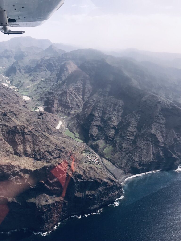
This one-day trip to this southwest area of Gran Canaria will allow you to observe the wild beauty of the Mogan region, enjoy ocean vistas, and, if you like, spend some time on a nude beach.
Where to find the hiking trails
Here are a few recommendations on how to find the top hiking trails in Gran Canaria.
- AllTrails. This application allows many outstanding trekking, hiking, and trail running routes. You can read recent reviews of other travelers and enjoy many photos and precise navigation.
- Wikiloc. Less fancy than Alltrails, it contains many routes walked by the locals. If the first option doesn’t work best for you, you’ll find some indications for hiking with kids or bicycling in Gran Canaria.
- All information about Camino de Santiago in Gran Canaria can be found on the website and free application Camino Entre Volcanes.
Enjoy hiking, camping, bicycling, and exploring the majestic beauty of Gran Canaria! Follow us on Instagram to learn more about the best hiking trails in Europe!
Many photos in this post are courtesy of Yury Chernov.
Leave a Reply