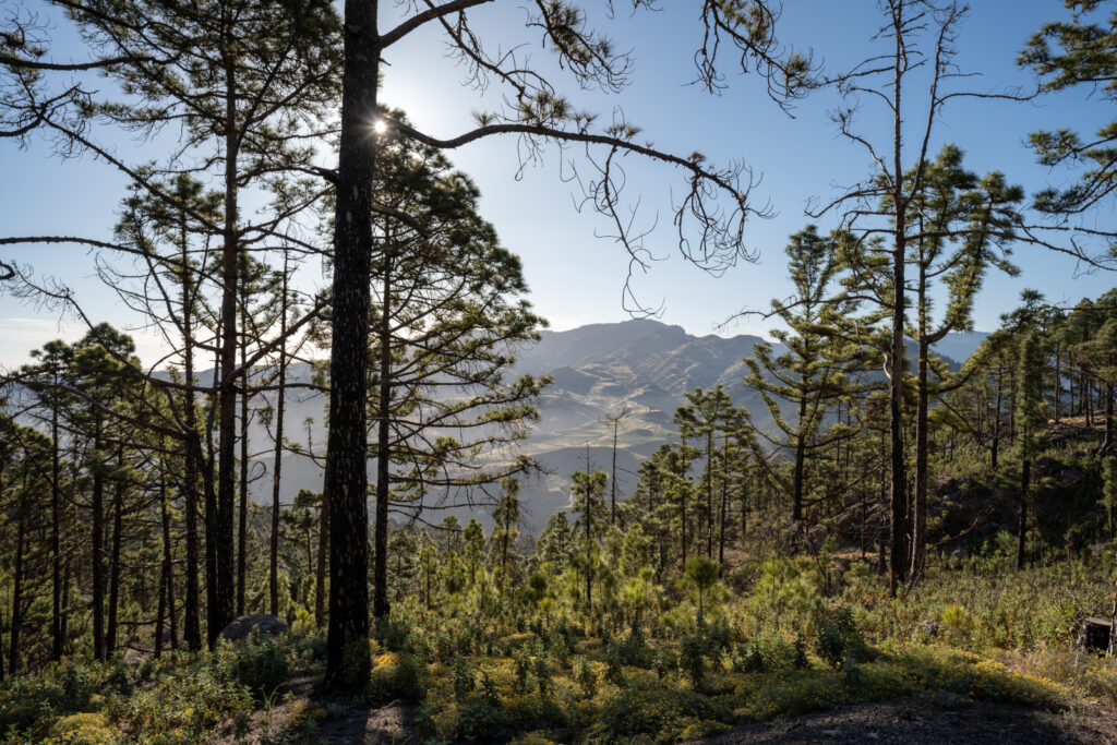
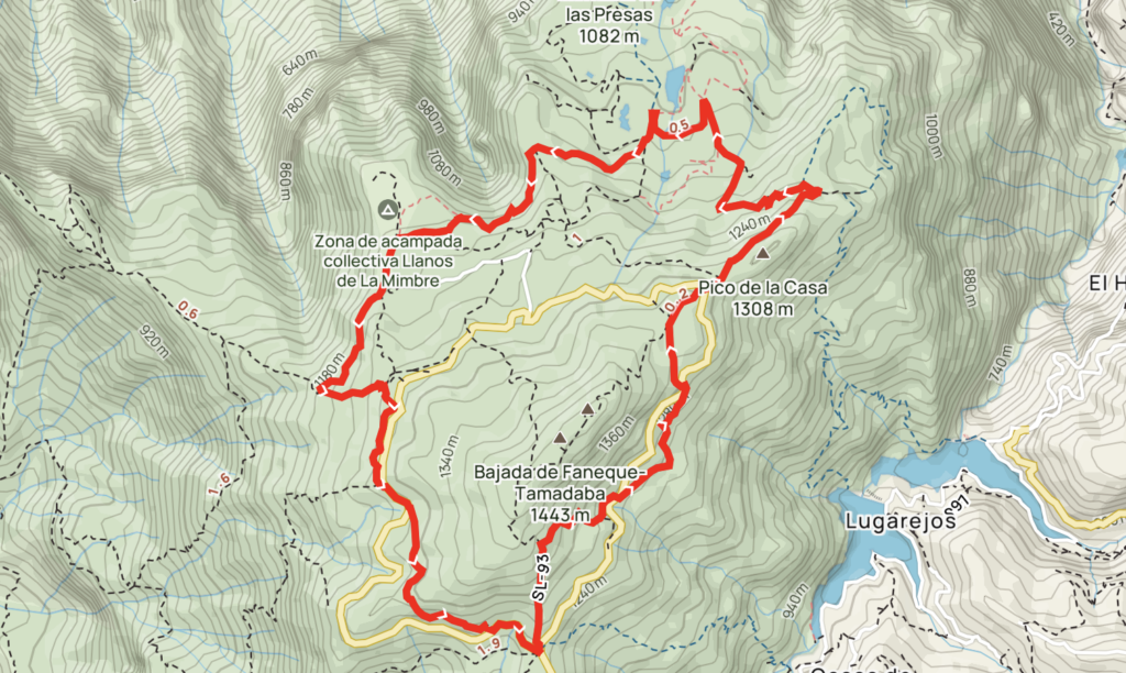
A deeper exploration of Tamadaba Park in Gran Canaria after the amazing out-and-back trail to the Montaña de Altavista slightly differed from what one could expect. The Tamadaba Hike took us a few hours as we stopped for filming. The total distance was 9,60 km.
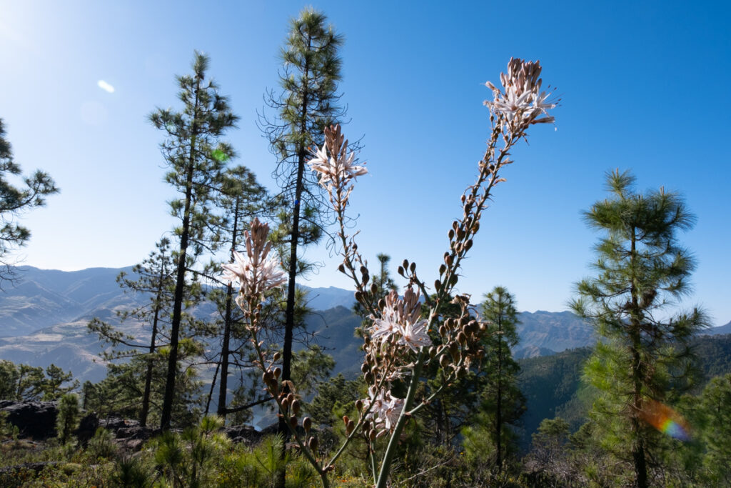
The first part of the trail goes along the SL-93 road with descents and ascents with distant views of houses in the haze. The road is pretty wide and developed, definitely part of a trail appropriate for horseriding and biking.
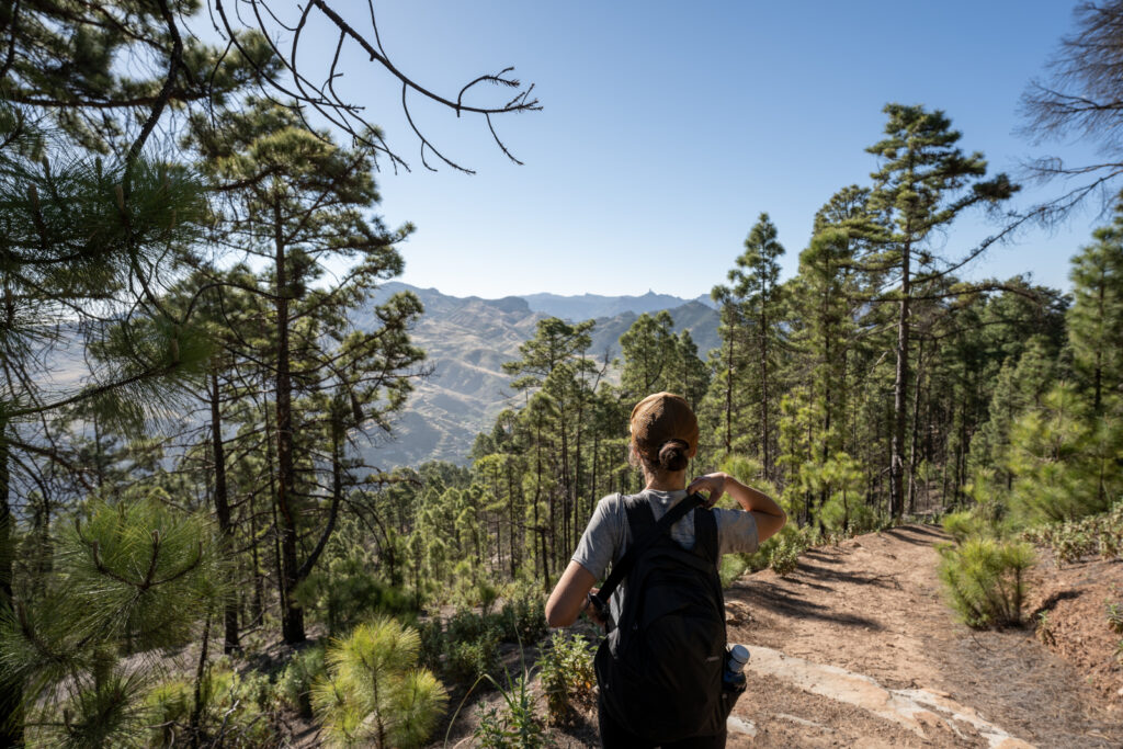
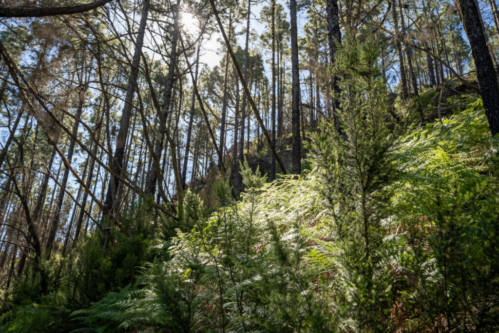
Then you enter a forest full of ferns as you walk along this magical and untypical Canary Islands landscape. The road down is hard to spot, so keeping to the GPS is essential.
The road led to a protected water reserve, so the warning signs of following a designated path forced us to change the initial route. Surprisingly, as we climbed, we ended up in a recreational area Llanos de la Mimbre, with outstanding views of a cloud lake in Tamadaba Park.
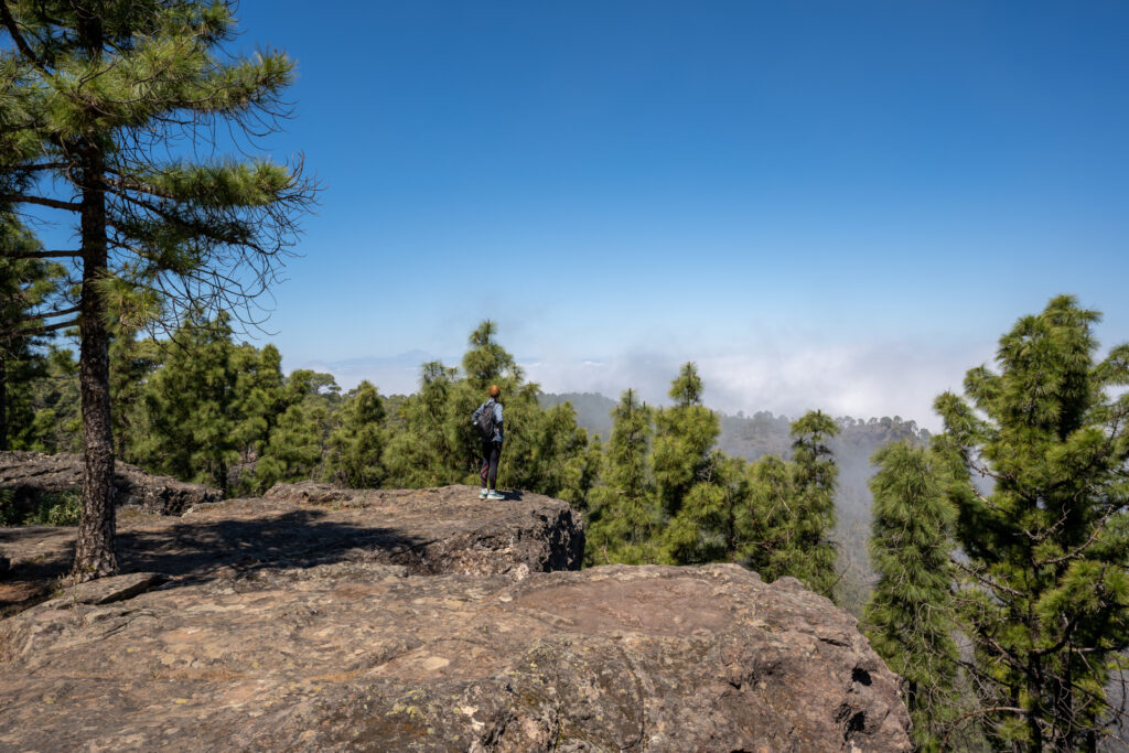
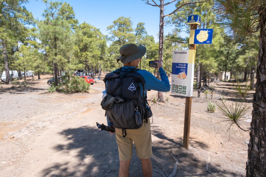
Just a few meters away, one could spot the camping area. Camping areas in Gran Canaria are designated as well. To stay in one, you have to get permission. We’ll make a Gran Canaria guide about it soon.
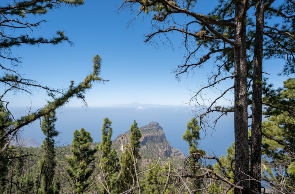
From here and in the final part of the trail, you could see Tamadaba in its whole beauty, the steep and narrow roads along the mountain, the majestic image of Roque Faneque mountain in the distance, the ocean, and Tenerife’s Teide peak. With all the mess of untouched nature and ancient small caves, this part definitely was the most breathtaking.
The road led back to the initial parking spot as the sun faced down at its zenith.
What do you need to know
- There are many trails in Tamadaba. This one is moderate, but others have a sufficient gain suitable for advanced hikers.
- If you get permission to camp at Llanos de la Mimbre, you can start your trail from there.
- The recreational area does not require booking. You can come for free and do barbeque. They have public toilets and non-potable water.
- Getting down to the water reserve is picturesque, but the area is protected, so you can’t get close enough.
- Alltrails
- Wikiloc (version)
And here is the video
Check the video from one of the authors of this blog, Yury!

Leave a Reply